Translate this page:
| Pincode | 284120 |
| Name | Chamrauwa B.O |
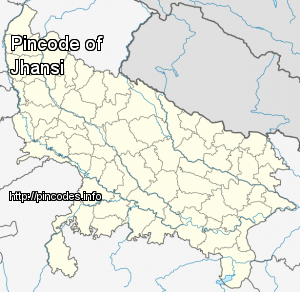
| District | Jhansi |
| State | Uttar Pradesh |
| Status | Branch Office(Delivery) |
| Head Office | Jhansi H.O |
| Sub Office | BHEL S.O (Jhansi) |
| Location | Jhansi Taluk of Jhansi District |
| Telephone No | Not Available |
| SPCC | JHANSI-284001 |
| Department Info | Jhansi Division Agra Region Uttar Pradesh Circle |
| Address | 284120, India |
| Services | |
| Indian Postal Code System Consists of Six digits. The first to digits represent the state, the second two digits represent the district and the Third two digits represents the Post Office.In this case the first two digits 28 represents the state Uttar Pradesh, the second two digits 41 represent the district Jhansi, and finally 20 represents the Post Office Chamrauwa B.O. Thus the Zip Code of Chamrauwa B.O, Jhansi, uttar pradesh is 284120 | |


Jhansi ( pronunciation ) is a historic city in the Indian state of Uttar Pradesh. It lies in the region of Bundelkhand on the banks of the Pahuj River, in the extreme south of Uttar Pradesh. Jhansi is the administrative headquarters of Jhansi district and Jhansi division. Called the Gateway to Bundelkhand, Jhansi is situated between the rivers Pahuj and Betwa at an average elevation of 285 metres (935 feet). It is about 415 kilometres (258 mi) from New Delhi and 292 kilometres (181 mi) from Lucknow.
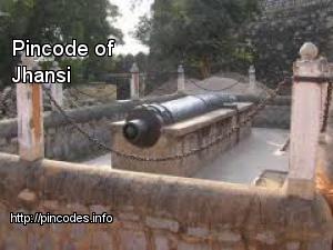
The original walled city grew around its stone fort which crowns a neighbouring rock. The ancient name of the city was Balwantnagar. From 1817 to 1854, Jhansi was the capital of the princely state of Jhansi which was ruled by Maratha rajas. The state was annexed by the British Governor General in 1854; Damodar Rao's claim to the throne was rejected but Rani Lakshmibai ruled it from June 1857 to June 1858More Info